
Out of Stock

Collins Touring Map
€7.99
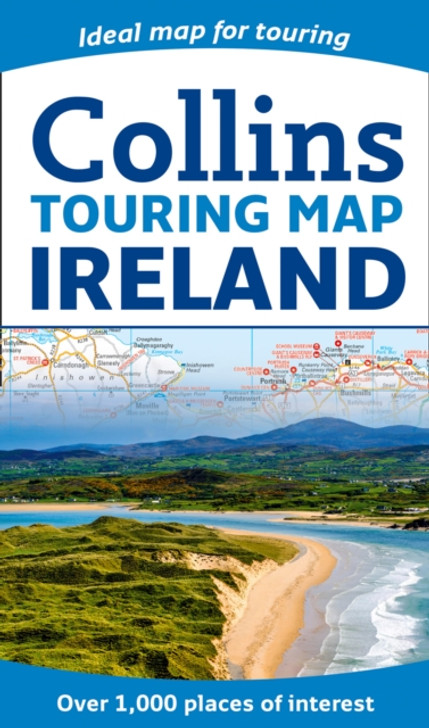
Explore new places with this authoritative map of Ireland. Large full colour Collins map of the whole of Ireland showing the road network in detail, and with a special emphasis on places of tourist interest. This map has a handy touring scale of 7.5 miles to 1 inch (1:475,200).
It has over 20 categories of tourist information depicted on the map with clear, colourful red and yellow symbols. There is a full index to place names and places of interest. This map includes:* All classified and most minor roads* Railway network and ferry routes* Viewpoints and sandy beaches* Speed enforcement zones and safety camera locations* Index to 20 categories of tourist information* Includes castles, historic houses, gardens, beaches and golf courses


